Live satellite images of the earth via NOAA weather satellites.
Who knew it was so easy to take satellite photos of the Earth? This was surprisingly simple, and worked surprisingly well. The entire thing can be done for about $50- the hardest part is building the antenna, and that only takes a day.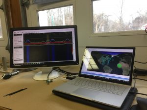
The antenna I made was a QFH (Quadrifilar Helix) antenna tuned to 137.5 MHZ (the approximate frequency that NOAA satellites broadcast on), and cost about $20 to make. It is pictured to the right. The satellites of interest are NOAA 15, 18, and 19. The antenna is run through a LNA (Low-Noise Amplifier) and into a RTL-SDR (Software Defined Radio). You can pick up a RTL-SDR, such as the NooElec NESDR Smart, for about $30. This allows you to use a computer to listen to radio signals. The siginal, available by using software such as SDR#, was then run through WXtoImg, a program that decodes the NOAA satellite signals and returns images.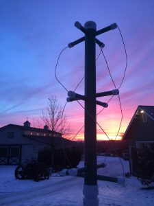
I was also able to fully automate the process- WXtoImg is able to auto-record satellite passes, and another package, Orbitron, is able to interface with SDR# to automatically tune the radio to the correct frequencies, and, more impressively, automatically compensate for Doppler Shift by adjusting the radio’s frequency during the pass.
Instructions for constructing a QFH Antenna can be found Here, and a calculator for designing one can be found Here.
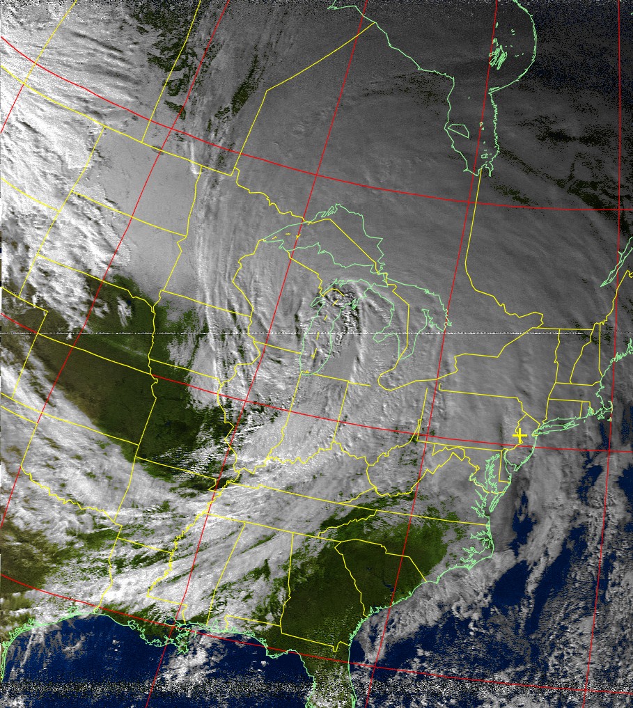
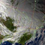
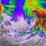
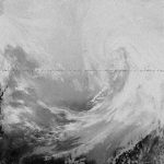
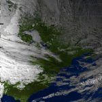
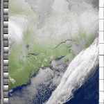
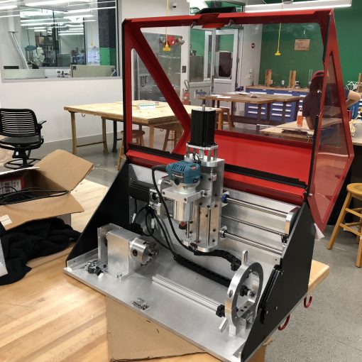
I’ve attached a few of the images I’ve obtained below, as well as a photo of my receiver setup.